AI Enabled Enterprise Smart UAV Mapping Solutions
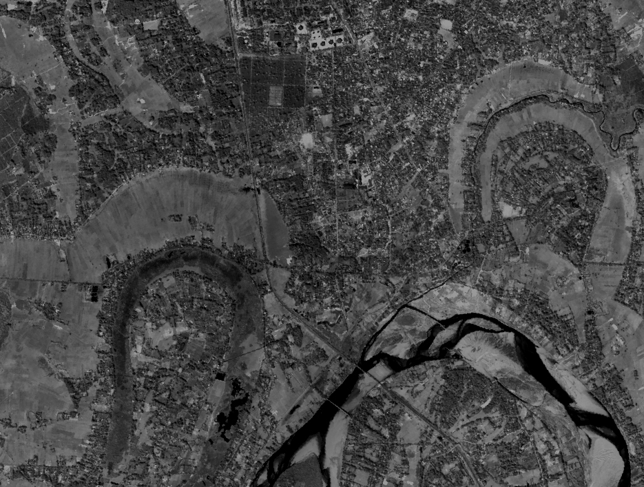
Stesalit Inc. predominantly employs Geospatial AI to automatically detect and process actionable information from large volumes of Data. Stesalit Inc.’s library of training data sets makes it possible to produce Accurate information in shortest possible time. AI also makes entire process cost effective for the customers.
Our team is passionate about transforming your geodata challenges to meaningful and measurable results. We constantly engage in evolving and adopt accelerators to respond to your quick and intensive geodata transformation necessities. We actively participate in finding solutions quickly and deliver power packed advantages in responding to the project challenges and focus our attention to delivering success.
Photogrammetry
UAV/Drone
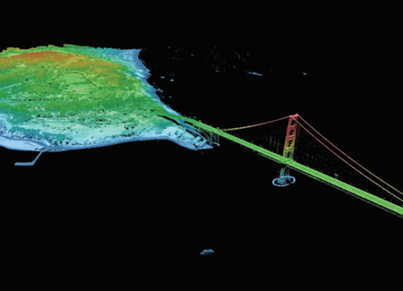
LiDAR Processing

FTTx Networks

BIM and Engineering

Geo Analysis
HD Mapping
Our Services
Advanced GeoAnalytics that combines custom Drone Imagery, Point Cloud Datasets with ready-to-use rich 2D & 3D Map Datasets
- Point Cloud Processing
- Geospatial Application Development
- 3D City Modeling
- Aero Triangulation
- Photogrammetric Analysis
- Orthophoto Rectification
- Image Classification & Analysis
- High Definition Mapping
- FTTx Networks
- DEM/DTM Generation
- Mosaicing and Enhancement
- Geodatabase Design
- Planimetric and Topographical Mapping
- Legacy Data Conversion
- Web GIS
- Mobile GIS
![]()
Customers Served Globally
![]()
Miles-SQ Planimetry From Digital Aerial Images
![]()
Miles-SQ Lidar Data Processed
![]()