Precision Aerial Mapping and Surveying with UAV/Drone Technology
Discover the skies with Stesalit Inc.’s comprehensive UAV/Drone services, designed to deliver precision, efficiency, and innovation. Our state-of-the-art drones, combined with expert navigation and advanced data analytics, make aerial surveys more accessible and insightful than ever before.
Stesalit Inc. provides end-to-end sector specific drone solutions that help enterprises and governments adopt a sustainable approach to managing and evolving their operations. Our solution encompasses superior survey grade drones, trained operators, easy-to-use ground control and flight planning software, and an intelligent, modular, cloud platform for data processing and analysis.
- End to End Drone Solutions Powering Business Intelligence.
- Faster and Accurate Data Generation using AI based algorithms.
Our Drone Services Offer:
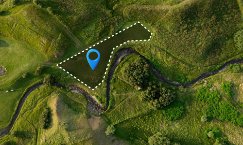
- Survey-Grade Data Acquisition: Capture high-resolution imagery for detailed analysis.
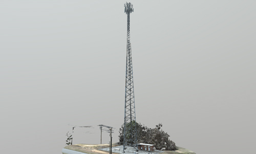
- Digital Twin Creation: Build virtual replicas of physical sites for planning and management.
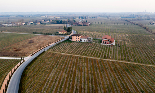
- Construction and Site Planning: Monitor project progress with regular aerial insights.
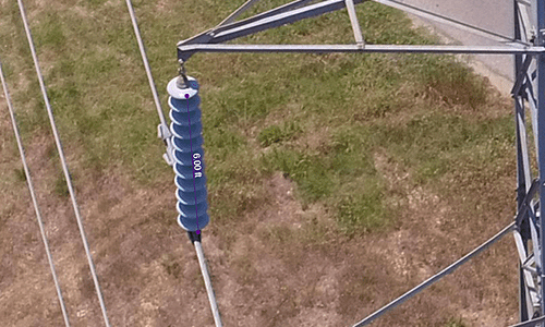
- Equipment Inspection: Ensure the integrity of critical infrastructure with less downtime.
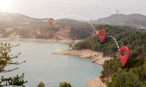
- Network Planning and Volume Estimation: Optimize logistics and resource management.
Why Choose Stesalit:
- Expert Operators: Our team is trained to tackle complex missions with precision.
- Advanced Software: From flight planning to data processing, our tools streamline operations.
- Rapid Deployment and Data Acquisition: Get the data you need with minimal disruption.
Contact Us to Get Started: Ready to take your project to new heights? Contact Stesalit Inc. today to learn more about how our UAV/Drone services can transform your operations.
Tower – Digital Twin



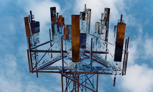
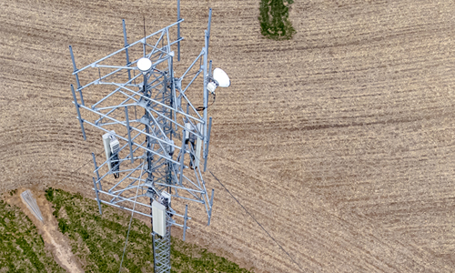


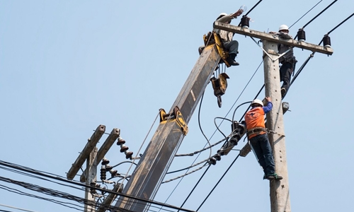
Services for Towers
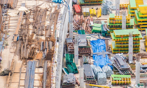



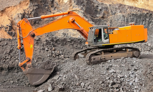
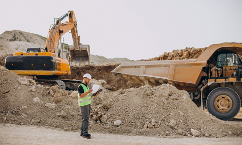
Stockpile Volume Estimation Services

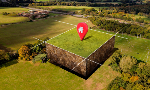
Mine Planning Services
