Geo Analytics Services
Stesalit Inc. is at the forefront of geospatial innovation, offering comprehensive Geo Analytics services that integrate AI and ML technologies to organize, analyze, and visualize spatial and non-spatial data. Our expertise transforms complex data into actionable insights, providing invaluable information about resources, properties, and locations.
Stesalit Inc. uses AI/ML model to create, organize and analyze spatial and non-spatial data. The Geo Analytics services we provide give important inputs for the purpose of unlocking new insights on information like resource location and other analytics. about any place.
The Geo Analytics services help in knowing about property, location or an asset with the help of dynamic data that are geographically arranged. Stesalit Inc. provides wide range of services.
Geo Analytics Capabilities:
- Automated Image Annotation: Leverage high-resolution imagery for detailed feature recognition.
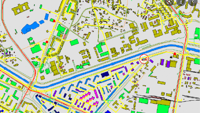
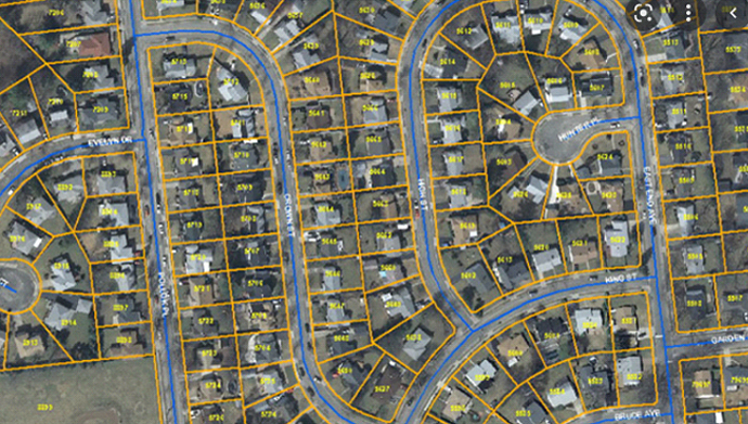
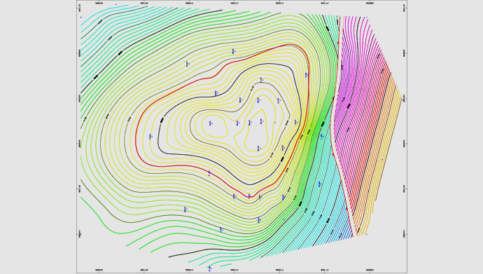
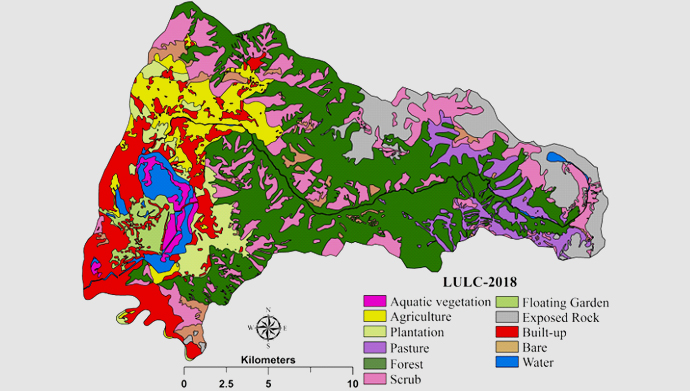
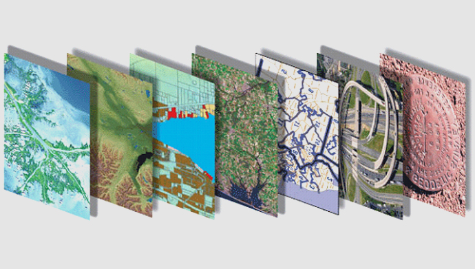
- Dynamic Data Mapping: From base maps to geological and land use land cover (LULC) mapping, visualize data with precision.
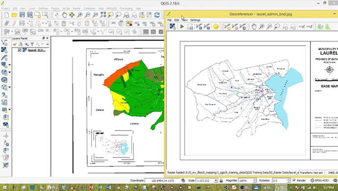
- Geo Referencing and Data Conversion: Ensure high accuracy and compatibility of geospatial data across systems.
Why Choose Stesalit for Geo Analytics?
- Cutting-edge Technology: Utilize the latest in AI/ML for superior data analysis.
- Customized Solutions: Tailored services that meet the specific needs of various sectors including urban planning, environmental monitoring, and resource management.
- Expertise in Geospatial Data: Benefit from our deep domain knowledge and technological proficiency.
Empower Your Decisions with Geo Analytics: Contact Stesalit Inc. today to discover how our Geo Analytics services can help you unlock new insights and drive strategic decision-making.
Geo Analytics Mapping Services
